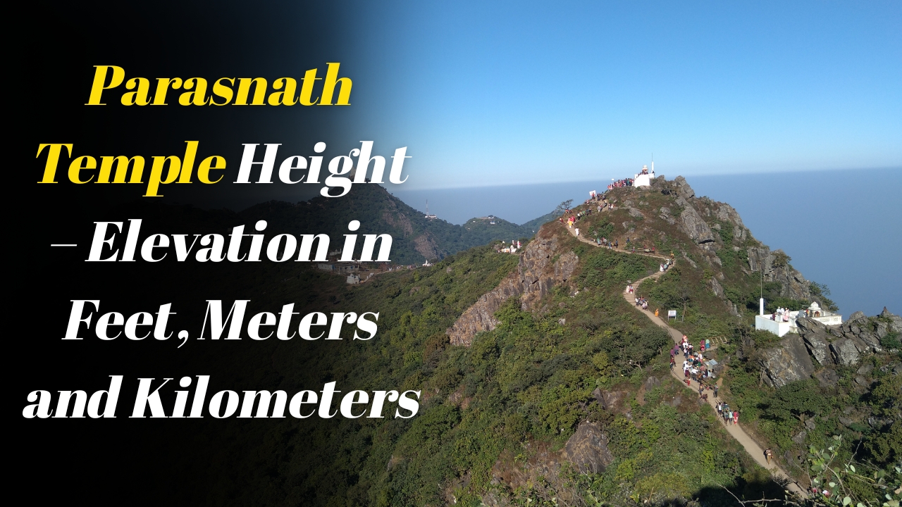
Parasnath Hill is one of the most sacred and geographically significant locations in eastern India. Situated in the Giridih district of Jharkhand, the hill is an important pilgrimage destination for the Jain community and a popular trekking site for nature lovers. One of the most frequently asked questions by visitors is about the exact height, altitude, and overall terrain of Parasnath Hill. Understanding these details helps travelers prepare effectively for the trek, assess the difficulty level, and appreciate the natural beauty and physical structure of the hill.
This guide provides a complete explanation of Parasnath Hill’s height, its elevation in kilometers and meters, the geological features, weather at different altitudes, and terrain characteristics that influence the trekking experience.
Height of Parasnath Hill
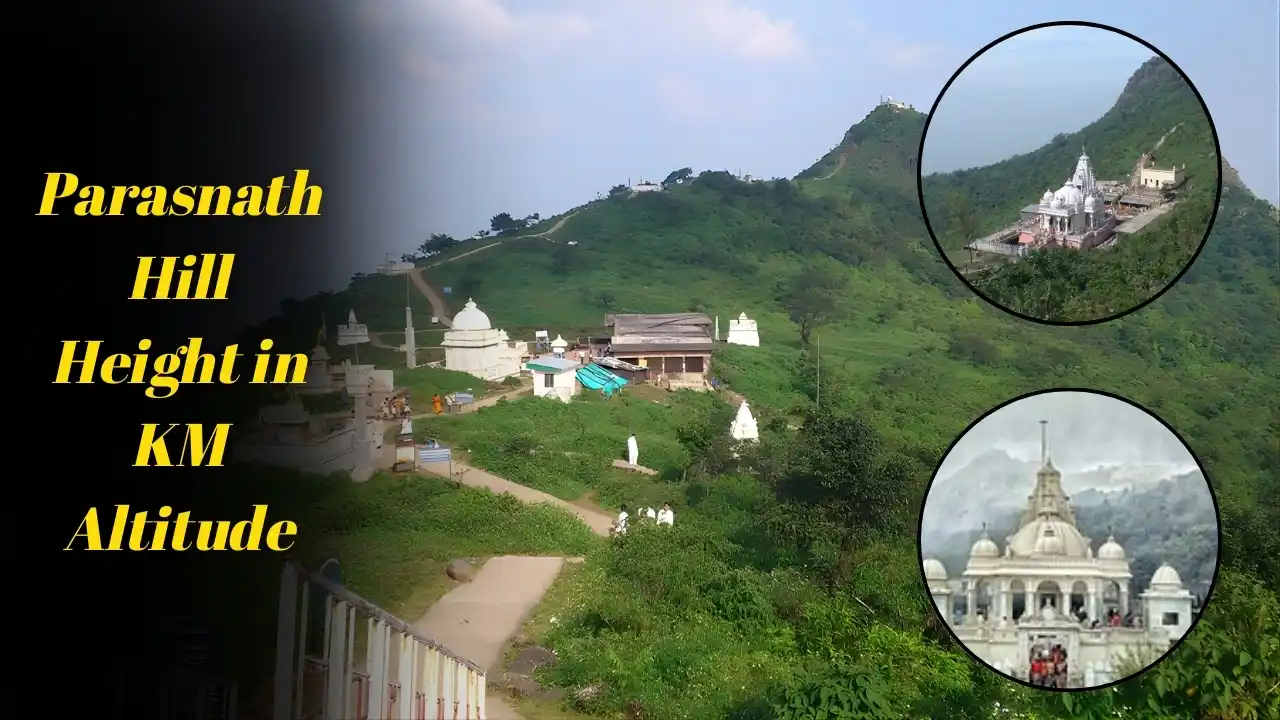
Parasnath Hill is the highest peak in the state. Its total height is approximately one thousand three hundred sixty five meters above sea level. When converted into kilometers, the elevation is about one point three six kilometers. This makes it one of the tallest hill ranges in the eastern region.
The impressive height contributes to the cool climate at the peak and the refreshing atmosphere that visitors experience during the trek. The elevation also provides stunning views of the surrounding forests, valleys, and distant landscapes.
Height in Kilometers and Meters Explained
To understand the elevation clearly
Height in meters around one thousand three hundred sixty five meters
Height in kilometers around one point three six kilometers
This elevation makes Parasnath Hill significantly higher than many other popular hills in the nearby states. Because of this height, the hilltop remains cooler compared to the areas surrounding Madhuban and Parasnath Station.
Altitude and Its Effect on Weather
Due to its high altitude, the temperature at the summit of Parasnath Hill is lower than at the base. Even during summer, the peak remains pleasantly cool in the mornings and evenings. In winter, the temperature can drop significantly, especially before sunrise.
The hilltop often remains covered in mist during early hours. The altitude creates a refreshing wind flow and cleaner air quality, making the environment ideal for meditation and spiritual practices.
Visitors should always carry light warm clothing, especially during winter months, because the temperature difference between the base and the summit can be noticeable.
Location and Surrounding Geography
Parasnath Hill rises dramatically from the eastern edge of the Chota Nagpur Plateau. The hill is part of a forested region covered with dense greenery, wildlife zones, and natural pathways. The surrounding area consists of rolling landscapes, small settlements, and scenic viewpoints that make the entire region visually appealing.
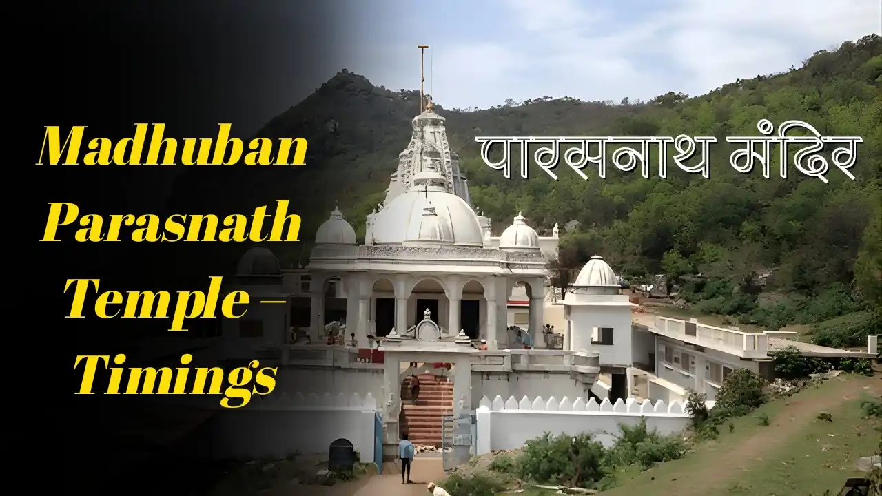
The base point Madhuban lies at a much lower elevation compared to the summit. This altitude difference creates a gradual but steady climb throughout the trekking route.
Terrain Characteristics
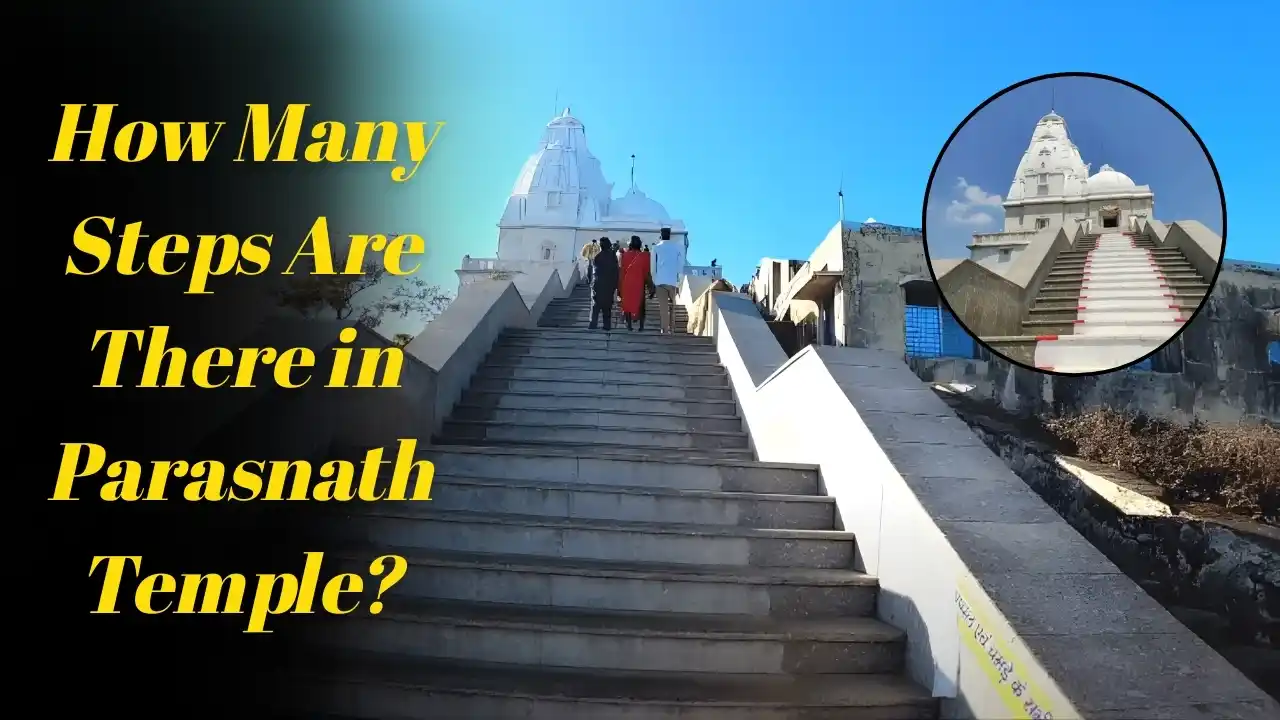
The terrain of Parasnath Hill includes a combination of stone paved paths, forest trails, rocky surfaces, and mild slopes. Some areas are smooth and easy to walk on, while others require more careful stepping.
The terrain can be divided into three segments
Lower section mainly flat and forested
Middle section moderate slopes and rocky paths
Upper section steep climbs and narrow hill trails
Despite the changing terrain, the route remains safe and manageable due to regular maintenance and clearly marked pathways.
The Trekking Path and Elevation Gain
The total trekking route from Madhuban to the summit covers a distance of approximately nine to eleven kilometers. As visitors move upward, the elevation gain becomes noticeable. The total ascent from Madhuban to the peak is significant because the base point is much lower in comparison to the top.
The gradual elevation gain helps the body adjust naturally to the height change. The trek starts with flat stretches, moves through slightly steep forest zones, and ends with steeper climbs near the summit.
Why the Height Makes the Trek Special
The hill’s height contributes to its spiritual atmosphere and natural charm. Being the highest point in the region, it offers a peaceful environment free from noise and pollution. The fresh air, scenic surroundings, and wide panoramic views make the climb rewarding for both physical and emotional well being.
Many visitors mention that the feeling at the summit is calming and spiritually uplifting because of the altitude and natural silence.
Visibility and Views From the Top
The height of Parasnath Hill allows visitors to see vast stretches of land from the summit. On clear days, the view extends across miles of forests, valleys, hills, and sky. The sunrise from the summit is one of the most beautiful sights of the region.
The improved visibility during winter months makes the peak an ideal spot for photography and meditation.
Climate and Temperature at Different Altitudes
The climate at higher altitudes of Parasnath Hill remains cooler throughout the year. The lower regions near Madhuban may be warm during summer, but the upper parts remain breezy and pleasant.
Temperature differences
Base area warmer and more humid
Mid level region mildly cool
Summit cold and windy
Visitors should be prepared for controlling temperature changes during the trek.
Effect of Height on Trek Difficulty
While the total trek distance is long, the height adds moderate difficulty due to steady elevation gain. Walking up slopes for long hours requires physical stamina, but the presence of resting shelters makes the climb manageable for most visitors.
The height does not cause altitude sickness because it is within a safe range, making the journey suitable even for elderly pilgrims.
Terrain Safety Tips
Because of the hill’s elevation and terrain characteristics, visitors should take a few precautions
Wear strong grip shoes
Carry sufficient drinking water
Walk slowly on steep sections
Avoid trekking during heavy rain
Use rest shelters frequently
Start early to avoid afternoon heat
These simple steps ensure a safe and comfortable trek.
Why Parasnath Hill Stands Out Among Other Hills
Parasnath Hill’s height and religious significance make it unique. It is not just a geographical landmark but a sacred site deeply connected to Jain history. The combination of elevation, forest surroundings, and spiritual importance creates a special environment rarely found in other hill regions.
Visitors experience both physical achievement and spiritual satisfaction at the summit because the height enhances the peaceful and divine atmosphere.
Final Thoughts
Understanding the height, elevation, and terrain of Parasnath Hill helps travelers prepare better for the journey. Standing at around one point three six kilometers above sea level, it remains the tallest and most sacred hill in the region. Its cool climate, natural beauty, and gently challenging terrain make it a perfect destination for pilgrims and nature enthusiasts. With proper preparation, every visitor can enjoy a safe, meaningful, and unforgettable trekking experience.